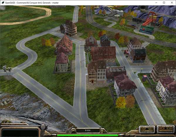
Figuring out how to render the roads correctly in OpenSAGE turned out to be a little more challenging than expected...and to be honest, so has writing this series of blog posts!
- Part 1: Taking stock
- Part 2: Inspecting the map file
- Part 3: Building a graph data structure
- Part 4: Rendering straight roads
- Part 5: Connecting the road segments
- Part 6: Choosing a crossing type
- Part 7: Rendering crossings
- Part 8: Rendering crossings (continued)
- Part 9: Rendering curves
- Part 10: Considering the terrain
- Part 11: Rendering end caps
- Part 12: Summing up (this post)
Wow...I never thought it would take eleven posts. They turned out a lot more detailed than I had originally planned them, but that way they hopefully also serve as documentation. I also found two or three bugs while going through the code again :)
Thank you for reading this far! I hope you enjoyed it and I could show you that roads are not quite as boring as the GLA rocket buggy driver thinks.
Last but not least, I want to thank my soon-to-be wife Birgit, without whose help I couldn't have possibly figured out all the necessary geometry!
